Note: This research-based guide was prepared with AI assistance. No site visits or hands-on tests were conducted. Travelers should verify specific accessibility details directly with service providers prior to departure.
For the traveler with mobility requirements, the allure of a historic city is often tempered by the logistical reality of its infrastructure. Destinations like Quebec City and Kyoto are defined by their preservation of space, which frequently manifests as uneven cobblestone streets, steep vertical transitions, and narrow, congested alleys. These features are not merely aesthetic; they represent an operational cost to the traveler, measured in time, energy, and the cognitive load required to navigate them safely. As we enter the late-autumn season, these challenges are compounded by changing weather conditions, making a structured, audit-based approach to travel planning essential.
The Topography of Heritage: A Logistical Assessment
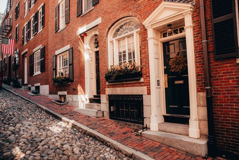
In historic urban centers, the primary friction point is the disconnect between preserved heritage and modern accessibility standards. A successful trip requires an objective assessment of the terrain before arrival. In Quebec City, the city’s division into Upper and Lower Town is a significant topographical hurdle. The Lower Town—encompassing the Petit-Champlain and Place-Royale districts—is characterized by cobblestone surfaces that, while picturesque, present vibration and stability challenges for manual wheelchair users. According to the official accessibility guidance for Quebec City, these surfaces are manageable but require extra time and, in many cases, the assistance of a travel companion. The operational reality here is that transit between the two levels of the city cannot be spontaneous; it must be routed through the wheelchair-accessible funicular connecting Petit-Champlain and the Dufferin Terrace.
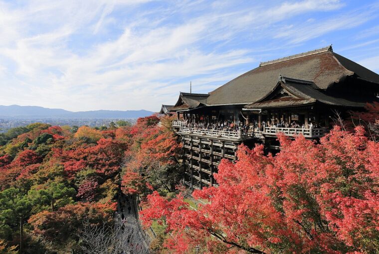
Similarly, Kyoto presents a different set of logistical constraints. While the city is generally flatter than Quebec, its historic districts are prone to extreme congestion. As outlined in the Kyoto Responsible Travel guidelines, popular areas like the Gion district or Nishiki Market can become severely overcrowded, creating physical barriers that limit maneuverability. For a traveler with mobility equipment, the “cost” of visiting these sites is the inability to move freely when the environment is dense with foot traffic. Effective planning in these environments necessitates a strategy that prioritizes off-peak hours and utilizes congestion-forecasting tools to avoid the friction of high-density transit.
Evaluating Transit in the Shoulder Season
The late-autumn transition introduces environmental variables that must be factored into your accessibility audit. Cold temperatures, potential dampness, and reduced daylight hours can increase the physical strain of navigating historic terrain. When planning, travelers should treat transit as a critical path rather than a background service. As discussed in our Navigating the Late-Autumn Travel Transition: A Proactive Guide, the shoulder season demands a higher buffer for recovery and transit time.
When evaluating public transit, do not assume universal accessibility. In Quebec City, while the RTC public transit system offers access ramps, the requirement that passengers must be able to board and exit independently is a critical detail for solo travelers. Similarly, in Kyoto, while public transportation is highly efficient, the reliance on trains and subways requires a granular understanding of station layouts. For a broader framework on how to approach these logistical hurdles, refer to our guide on Mastering Accessible Travel: A Strategic Planning Guide. The operational goal is to minimize the number of transitions per day, thereby reducing the probability of encountering an inaccessible path or an unstaffed station.
The Accessibility Audit: A Pre-Departure Framework
To mitigate the operational costs of historic travel, travelers should conduct a pre-departure audit. This is not a list of attractions, but a log of logistical requirements. Use the following checklist to build a resilient itinerary:
- Terrain Audit: Research the specific surface materials of your planned route. Are you navigating cobblestones, steep inclines, or narrow, uneven sidewalks? If the terrain is high-friction, allocate 50% more time for transit than a navigation app suggests.
- Transit Reliability Audit: Do not rely on general “accessible” labels. Confirm the specific transit modes available (e.g., funiculars, ramp-equipped buses). If a primary transit link is out of service, is there a secondary, accessible route available?
- Congestion Audit: Identify the high-traffic areas in your destination. In Kyoto, this means avoiding the Gion district during peak hours. In Quebec City, it means planning your day to stay within the Lower Town or Upper Town exclusively, rather than attempting multiple crossings between them.
- Backup Infrastructure Audit: Create a “rainy-day” version of your itinerary. If weather or congestion makes your primary plan unfeasible, have a list of indoor, fully accessible alternatives, such as the Musée de la civilisation in Quebec City, which are designed with modern accessibility infrastructure.
- Support System Audit: If you are traveling with a companion, define their role in your accessibility strategy. Are they assisting with manual navigation, or are they managing the logistical communication with local service providers? Clarity here prevents burnout and ensures the trip remains restorative.
By shifting the focus from the aesthetic experience of a destination to the operational requirements of its terrain, travelers can navigate historic cities with greater dignity and less fatigue. The objective is to treat accessibility as a foundational element of the trip, ensuring that the logistical reality supports, rather than hinders, the exploration of these irreplaceable cultural sites.
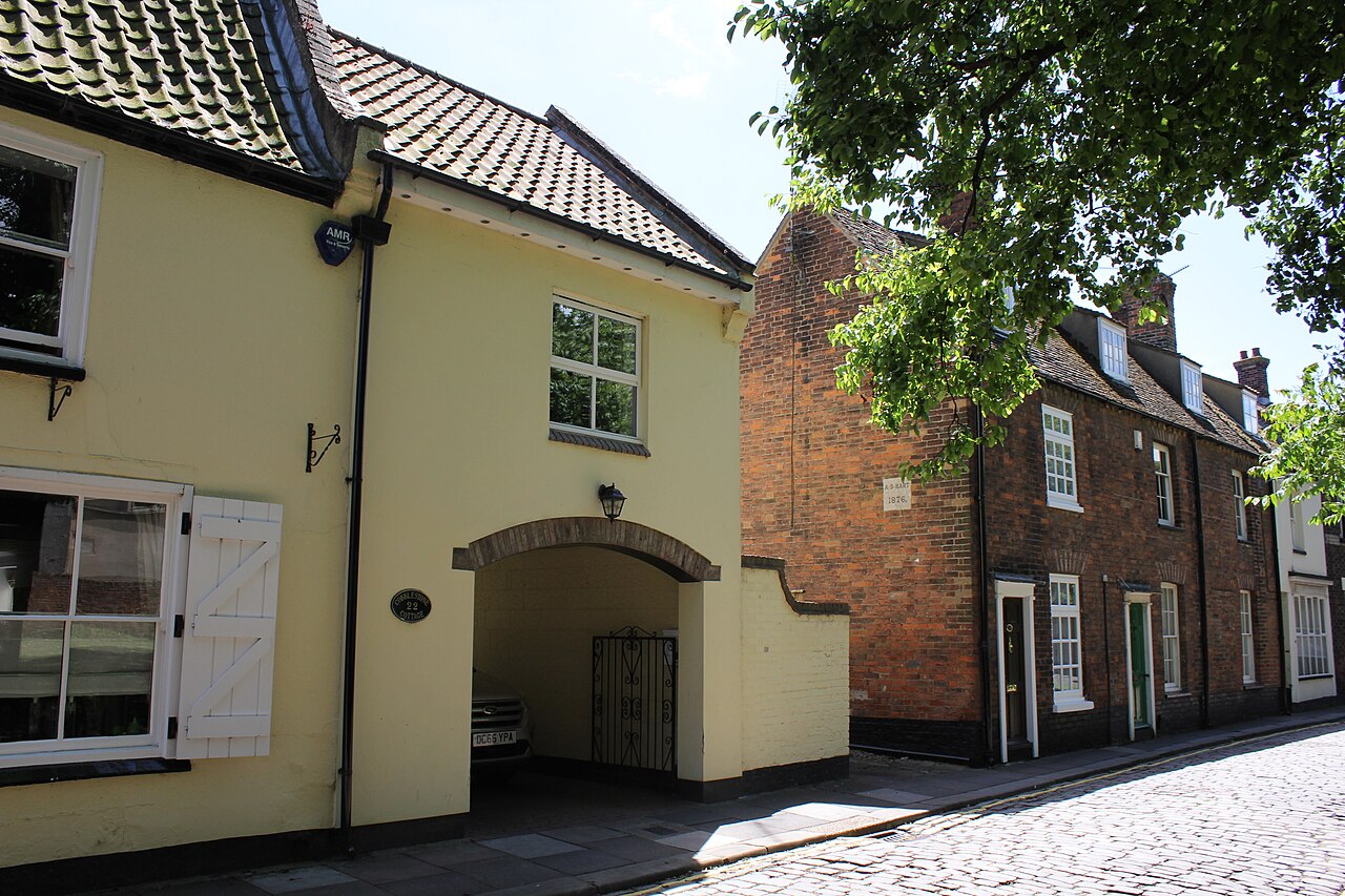
Representative photo illustrating the uneven cobblestone surfaces typical of historic districts, which present significant navigation challenges for travelers with mobility requirements. Photo: Jo and Steve Turner / Wikimedia Commons · CC BY-SA 2.0. Resized for display. Sources checked November 5, 2026.
Advertisement · From our publishing familyDiscover something new ↗